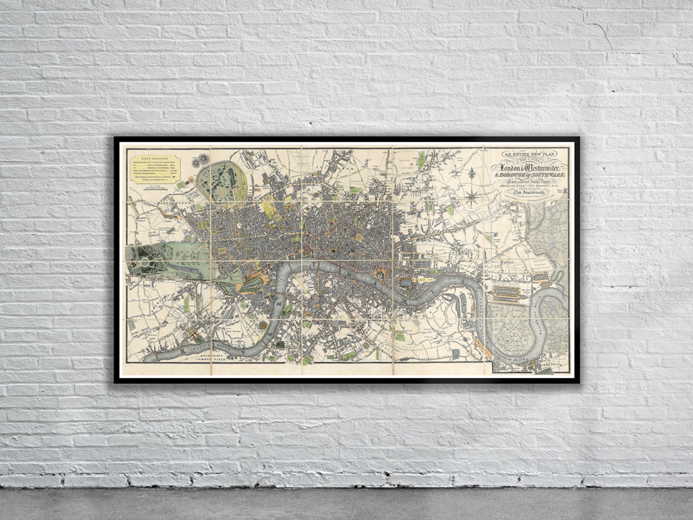
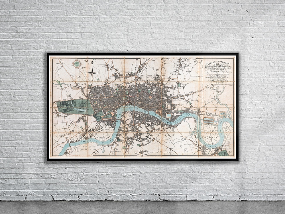
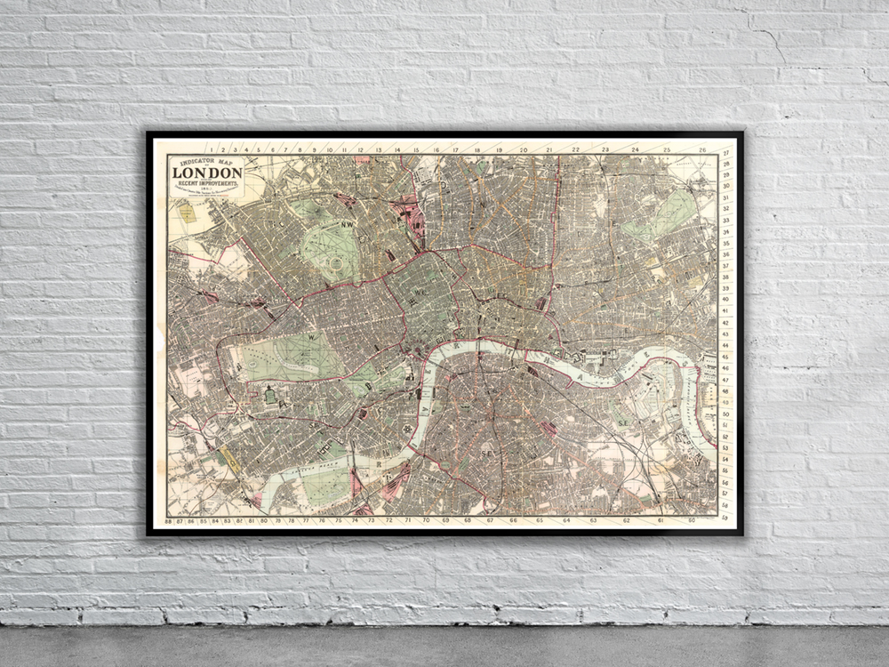
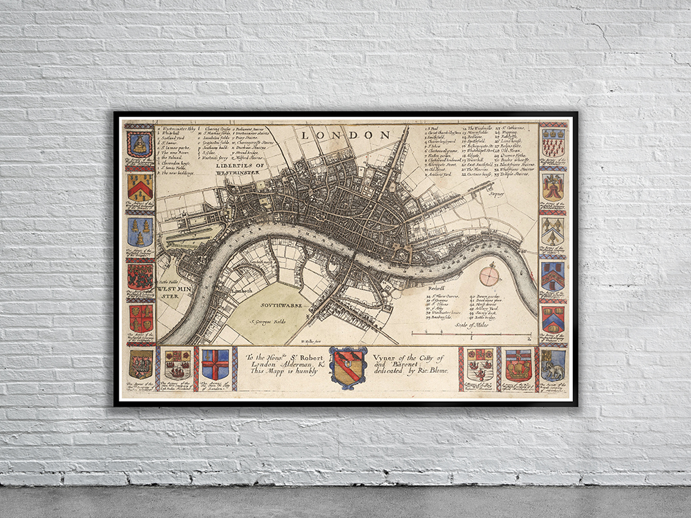
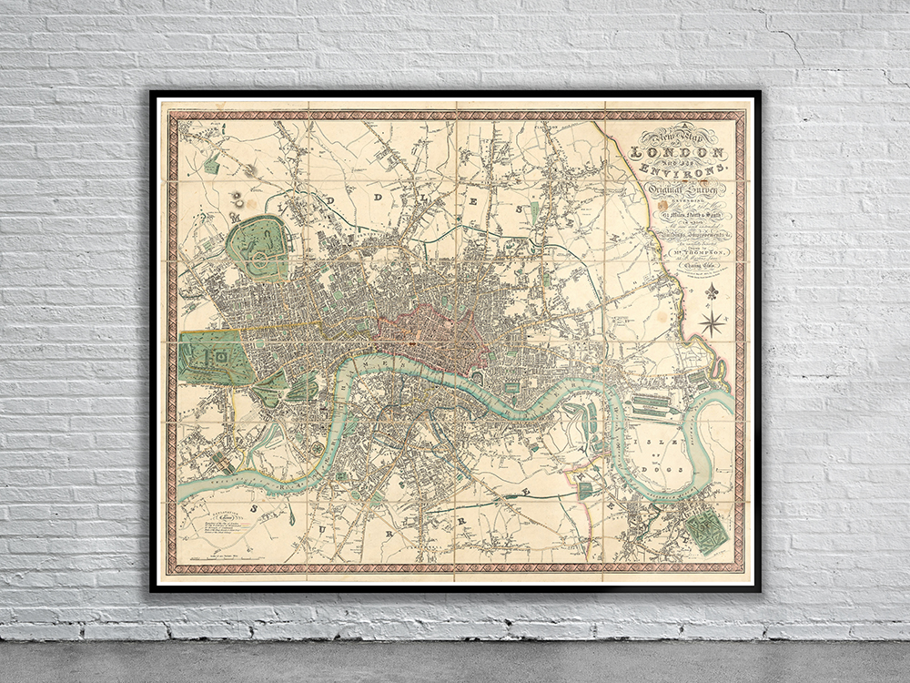
A distinctive 1880 Map of London showing streets, roads, railways, drainage, borough boundaries, towns, and other points of interests. The Map is divided into quarter mile sections for measuring distances. Stunning Full Colour Reproduction using the Most Advanced Technology Available Printed on Museum Matte Archival Paper 310gm Unique Conversation Piece for your Home or Business Frame not included