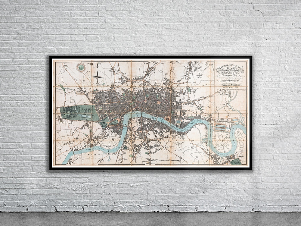
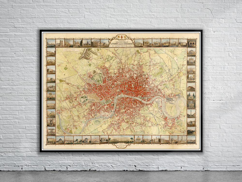
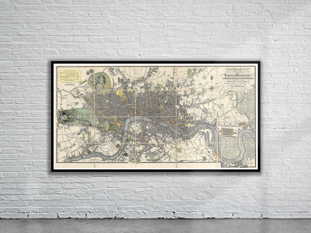
William Darton’s 1817 Map of London extending from Stepney as far east as Greenwich Marsh. The map shows the location of the soon-to-be-constructed Regent Street, running from Oxford Street to Piccadilly; and many other proposed improvements. Stunning Full Colour Reproduction using the Most Advanced Technology Available Printed on Museum Matte Archival Paper 310gm Unique Conversation Piece for your Home or Business Frame not included