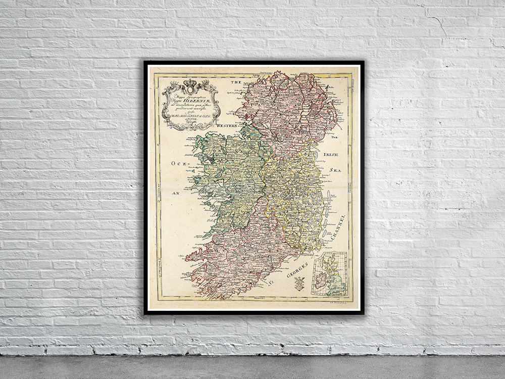
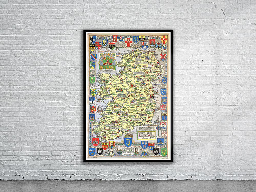
Charming pictorial map of Ireland from 1969 featuring major sites including cathedrals, abbeys, castles, battles & sieges, massacres, sea ports, towns, main roads, ancient clans and families. Surrounding the map are numerous coats-of-arms representing cities and universities. Stunning Full Colour Reproduction using the Most Advanced Technology Available Printed on Museum Matte Archival Paper 310gm Unique Conversation Piece for your Home or Business Frame not included