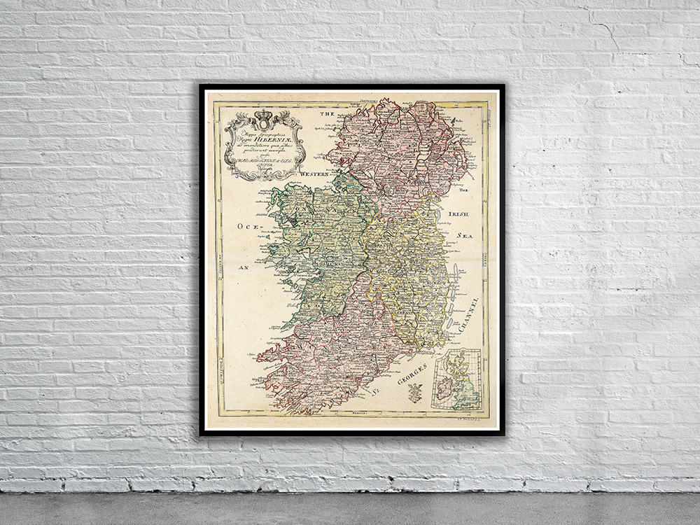
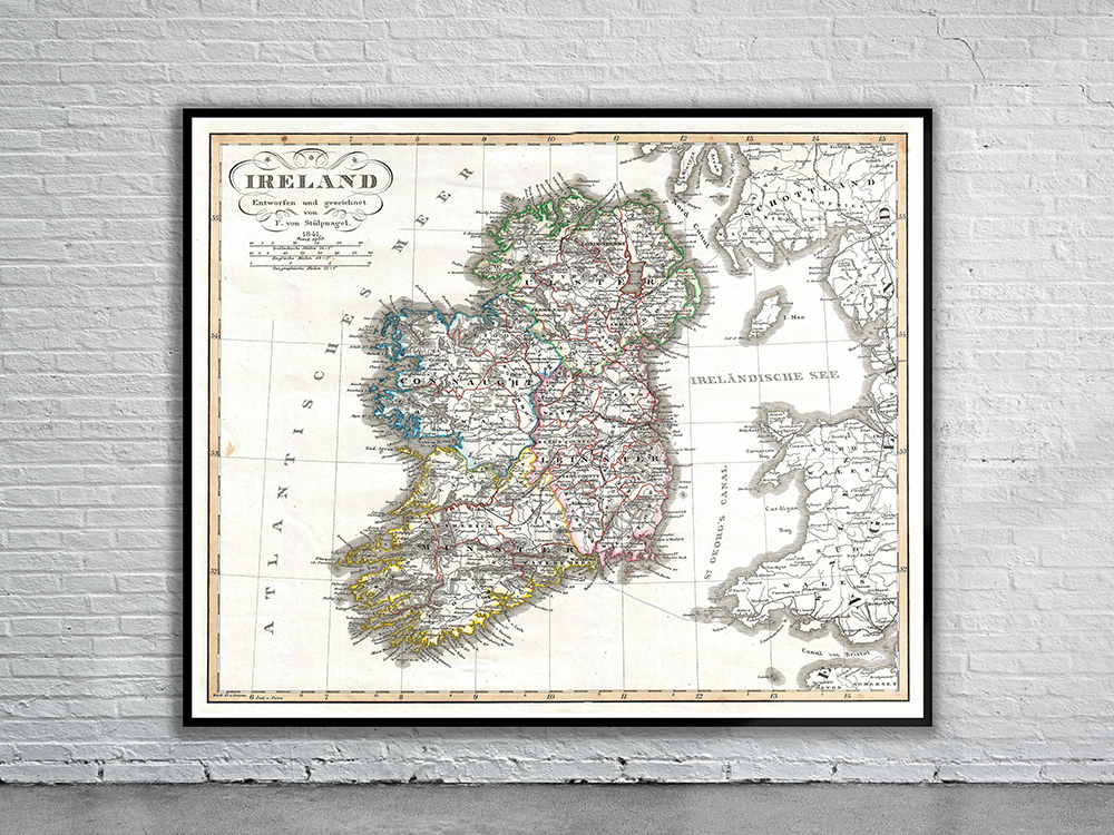
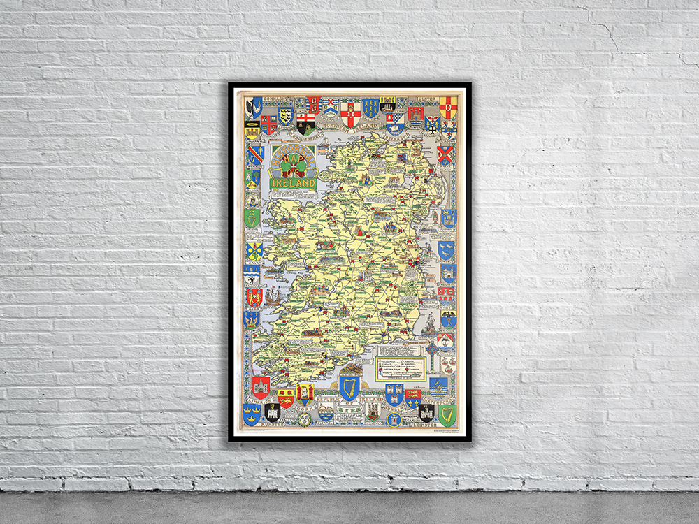
Justus Perthes’ Map of Ireland shows the island divided into its four provinces: Ulster, Connaught, Leinster and Munster. Shows roads, railroads, local political divisions and some of the surrounding waters and territories in England and Scotland. Stunning Full Colour Reproduction using the Most Advanced Technology Available Printed on Museum Matte Archival Paper 310gm Unique Conversation Piece for your Home or Business Frame not included