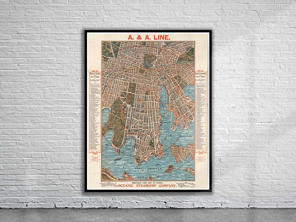
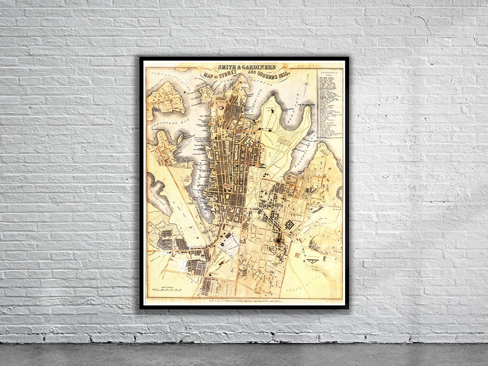
Smith & Gardiner’s Map of Sydney and Suburbs 1855. The map depicts the area of Sydney extending from ‘Black Wattle Swamp Cove’ in the west to ‘Toll House’ in the east. Stunning Full Colour Reproduction using the Most Advanced Technology Available Printed on Museum Matte Archival Paper 310gm Unique Conversation Piece for your Home or Business Frame not included