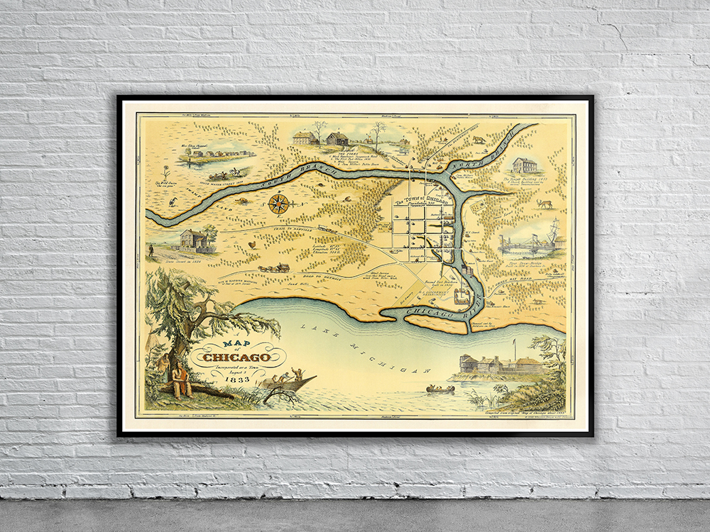
A historical pictorial map showing the city of Chicago, Illinois, at the time of its incorporation in 1833 by Conley & Stelzer. The map was issued upon the Chicago centennial in 1933. It shows Chicago as a small settlement of only four square blocks near where the Chicago River empties into Lake Michigan. Stunning Full Colour Reproduction using the Most Advanced Technology Available Printed on Museum Matte Archival Paper 310gm Unique Conversation Piece for your Home or Business Frame not included