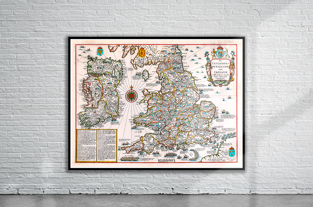
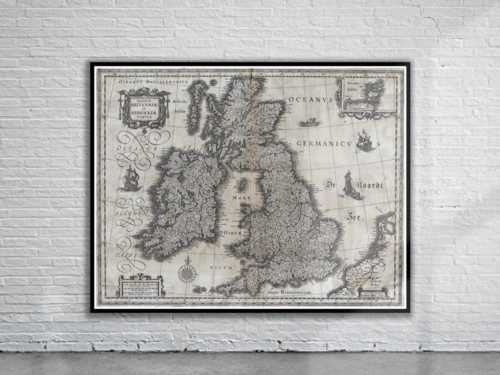
An interesting and decorative 17th century map of England & Wales and Ireland — displaying all the major battles and invasions from the Norman Conquest to the Spanish Armada – which was engraved by Cornelius Danckerts and published in John Speed’s Theatre of the Empire of Great Britaine, one of the world’s great cartographic treasures. Stunning Full Colour Reproduction using the Most Advanced Technology Available Printed on Museum Matte Archival Paper 310gm Unique Conversation Piece for your Home or Business Frame not included