Free Shipping on Orders Over $60

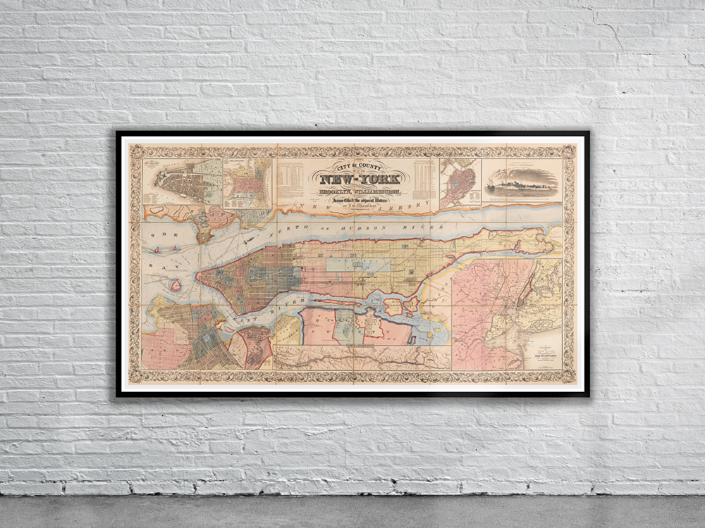
Vintage Map of New York 1857
- Colton’s City & County Map of New York from 1857. The map shows the built-up areas, streetcar/railroad lines, river piers (numbered, proprietors identified), municipal wards (numbered), and projected street-system grid to the northern end of Manhattan Island. Stunning Full Colour Reproduction using the Most Advanced Technology Available Printed on Museum Matte Archival Paper 310gm Unique Conversation Piece for your Home or Business Frame not included